We’ve been looking at the Environment Agency website for information about the River Crouch.
At 8 a.m. this morning they had a flood alert for the Upper Crouch – from Noaks Bridge to Runwell, including Wickford. A Flood alert means “Flooding is possible. Be prepared”
No warnings at 8 a.m. this morning for between Battlesbridge and Creeksea.
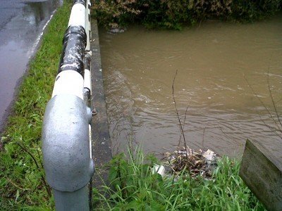
UPDATE at 10 a.m. : Church Road in Rawreth is still clear, though the brook is pretty full:
UPDATE at 1:15 pm Cllr Michael Hoy advises on Facebook:
Watery Lane closed again, due to flooding. Junction of Watery Lane & Hullbridge Road is also partly under water but is ok for cars.

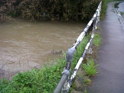
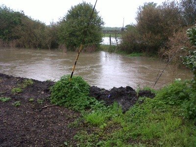
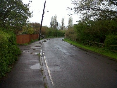
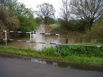
Maltings Road, Battlesbridge, Essex
[img]http://a5.sphotos.ak.fbcdn.net/hphotos-ak-snc7/s720x720/582175_10150795879248281_525143280_9576084_1330262795_n.jpg[/img]
Thanks Graham
The Echo reports people rescued from four cars in Watery Lane:
http://www.echo-news.co.uk/news/local_news/rayleigh/9677317.Firefighters_rescue_people_stuck_in_floods/
Maybe, just maybe, the clue for the motorists is in the name of the road……….
I think you are right , RR.
What news of the Sweyne park area. It would appear no news is good.