The www.police.uk website has a lot of information on it about crime in each locality in the UK. One improvement that’s been made is that when you look for the figures for , say, “Rayleigh” , you now get the figures for the whole of Rayleigh and Rawreth, and not just within 1 mile of Rayleigh town centre.
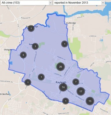
The most recent maps are for last November. Here’s the one for Rayleigh:
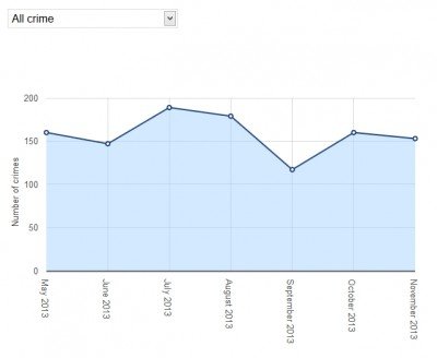
And here’s a graph showing how crime in Rayleigh has fluctuated since last May:
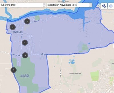
Here’s the map for Hullbridge:
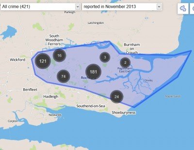
And you can even draw your own map:
To really see whats been going on, you need to look at the actual map for your area – they are zoomable, and can distinguish between different types of crime.
To find the crime map for your local area, look here.
Although the maps aren’t ready yet for December, the website does have some written info on burglaries in Rayleigh in December:
UPDATE – 04/01/2014]
The last reported burglary was on 28th December 2013 at Boston Avenue, Rayleigh.During December reports were as follows;
22/12 ? Crown Hill
21/12 ? Spring Gardens
16/12 ? Daws Heath Road
13/12 ? Queens Road
11/12 ? Victoria Avenue and 2x Shannon Avenue
9/12 ? Daws Heath Road and Queens Road
4/12 ? Eastwood Road
3/12 ? Bedloes Avenue and Brooklyn Drive


Bit of shock to me, didn’t realise it was so active this far from the big City & Suburbs –
clearly an alternate to work for some.
But untill effective punishments are handed out
it will carry on (and please don’t tell me we
are now a too sophisticated society for all that – we patently are not).
Feel sorry for the Police,all that effort and then watch them walk away from court laughing.